

Caring for the Environment
Our commitment to providing reliable and affordable power goes hand in hand with our dedication to protecting the environment. We have engaged millions of Californians in energy efficiency programs, resulting in lower emissions and improved air quality. We are proud to be among the nation's leading utilities in delivering clean, carbon-free power. Our efforts to provide cleaner energy also involve protecting natural and cultural resources. We use a variety of screening tools and controls to ensure we are avoiding and minimizing impacts on sensitive areas when completing projects.

Protecting and Restoring the Environment
California is deeply committed to improved air and water quality, and so are we. SCE also protects biological and cultural resources and restores and preserves habitats.
Addressing Climate Change
We support the goals set by California’s climate change law — AB 32 — and are working with state policymakers and other stakeholders to implement key elements of the law as cost-effectively as possible. This will allow us to continue providing a reliable and affordable supply of energy to meet our customers’ current and future electricity needs. At the federal level, we support comprehensive cap-and-trade legislation with consistent rules, reasonable timelines and other provisions to allow new technology to develop and minimize economic disruption. SCE is also investing in solutions to both mitigate and adapt to the impacts of climate change, making the electric grid and the communities we serve more resilient.
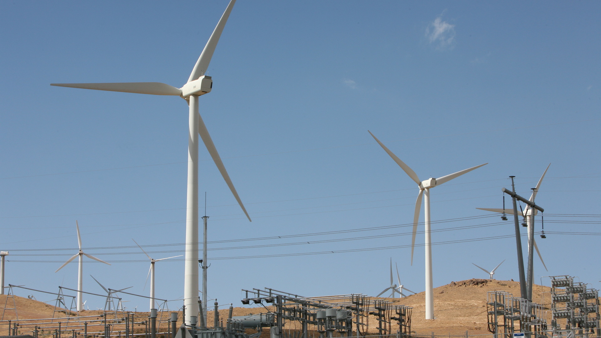
Renewable Power
From helping you go solar at home to expanding infrastructure so we can deliver you more renewable wind and solar power, we are committed to a cleaner energy future for California.

Helping Our Customers Save Energy, Save Money and Help the Environment
SCE administers one of the nation’s largest portfolios of energy efficiency programs and services that help our customers save energy and money.